
Activity Map



Nearby Points of Interest
Worth the DetourDiscover a destination worth exploring within a short drive from Seal Rock.
 Nye BeachBeach9.6 mi from Seal Rock▾
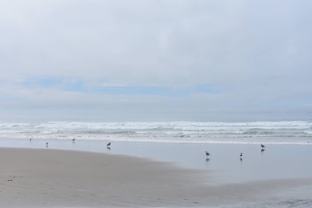
Nye Beach takes its name from John Nye, who staked 160 acres along this stretch of bluff in 1866; it grew into Newport's original tourist destination after Sam Irvin built a hotel here in 1905 to host travelers arriving by train and boat via Yaquina Bay, with Nye Creek providing boardwalk access down to the sand. A rocky sea stack at the beach's north end known as Jump-Off Joe served as its defining landmark for decades, until erosion collapsed most of it between 1920 and 1970.
 Yaquina Head LighthouseLighthouse12.2 mi from Seal Rock▾
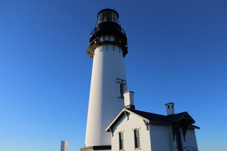
At 93 feet, this is the tallest lighthouse on the Oregon Coast, first lit in August 1873 after workers battled winter storms and lost two boatloads of building materials just getting the bricks ashore. Its original Paris-made lens still sits above the tide pools and nesting seabird colony below, visible up to 19 miles out to sea.
Moolack BeachBeach13.8 mi from Seal Rock▾
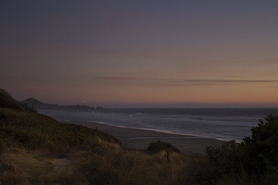
Named with the Chinook Jargon word for "elk," this nearly five-mile Oregon beach sits atop 15-to-18-million-year-old Astoria Formation bedrock, and its dramatic tidal swings periodically expose rooted tree stumps dating back roughly 4,500 years.
 Cape PerpetuaScenic Overlook14.7 mi from Seal Rock▾
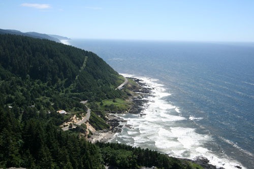
At 800 feet, this is the highest point on the Oregon Coast reachable by car — a volcanic headland first charted by Captain Cook in 1778. A stone shelter built by the Civilian Conservation Corps still crowns the summit, with trails leading down to Thor's Well and the Spouting Horn below.
1 active Geo Zones, 8 Wayfinding locations, and 2 Treasure Hunts in Seal Rock, Oregon.
Featured: Chubby Lil Mermaid, Luna Sea, 3 Burritos
Nearby Points of Interest
Worth the DetourDiscover a destination worth exploring within a short drive from Seal Rock.
Nye BeachBeach9.6 mi from Seal Rock▾
Nye Beach takes its name from John Nye, who staked 160 acres along this stretch of bluff in 1866; it grew into Newport's original tourist destination after Sam Irvin built a hotel here in 1905 to host travelers arriving by train and boat via Yaquina Bay, with Nye Creek providing boardwalk access down to the sand. A rocky sea stack at the beach's north end known as Jump-Off Joe served as its defining landmark for decades, until erosion collapsed most of it between 1920 and 1970.
Yaquina Head LighthouseLighthouse12.2 mi from Seal Rock▾
At 93 feet, this is the tallest lighthouse on the Oregon Coast, first lit in August 1873 after workers battled winter storms and lost two boatloads of building materials just getting the bricks ashore. Its original Paris-made lens still sits above the tide pools and nesting seabird colony below, visible up to 19 miles out to sea.
Moolack BeachBeach13.8 mi from Seal Rock▾
Named with the Chinook Jargon word for "elk," this nearly five-mile Oregon beach sits atop 15-to-18-million-year-old Astoria Formation bedrock, and its dramatic tidal swings periodically expose rooted tree stumps dating back roughly 4,500 years.
Cape PerpetuaScenic Overlook14.7 mi from Seal Rock▾
At 800 feet, this is the highest point on the Oregon Coast reachable by car — a volcanic headland first charted by Captain Cook in 1778. A stone shelter built by the Civilian Conservation Corps still crowns the summit, with trails leading down to Thor's Well and the Spouting Horn below.